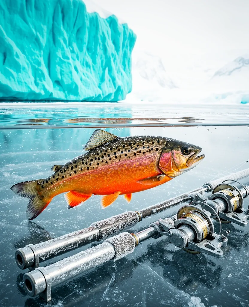
ID: AC-012
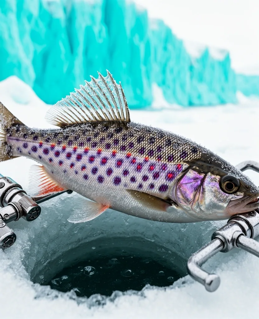
Arctic Char
Weight: 12.4 KG
 QUEYNOD
Location
Level 12, Menara Maxis
Kuala Lumpur, Malaysia
Direct
+60 3-2163 2237
info@queynod.com
Digital expeditions in the frozen latitudes. Master the technical discipline of sub-zero angling through high-fidelity interactive fishing world simulations.
System Status: Optimization complete for 2026 environmental models. Stable connection recommended.
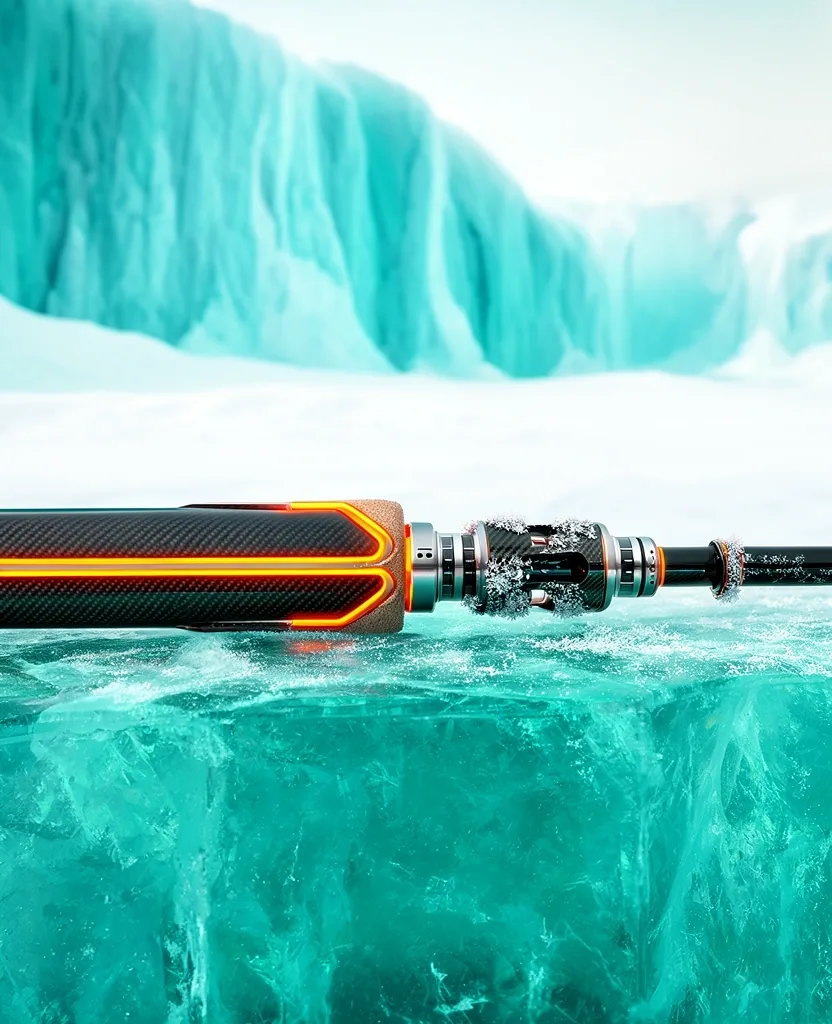
Calculation of line tension limits under 5 meters of solid ice, factoring in thermal shrinkage and crystalline friction.
Real-time monitoring of angler energy expenditure and equipment freeze-up thresholds in temperatures below -30°C.
Acoustic modeling of underwater springs and oxygen-depletion zones where arctic species congregate during frozen months.
Light behavior simulations during the blue hour, optimizing the use of luminous jigs for deep-water predatory trout.
Explore what lies beneath 5 meters of solid ice. In the silent corridors of the Svalbard archipelago, fishing is more than a sport—it is a study of arctic hydrology. Our simulation translates the crunch of permafrost and the slow metabolism of the catch into a technical fishing adventure like no other.
A record of verified virtual catches and expedition-grade equipment.
Weight: 12.4 KG
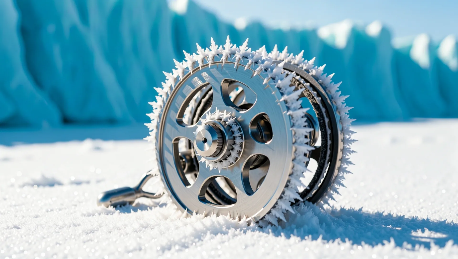
Status: Operational
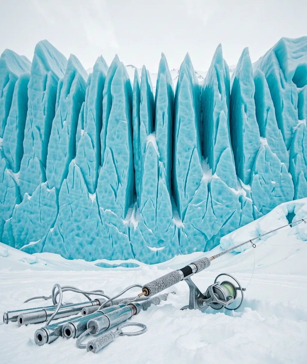
Weight: 5.2 KG
Model: High-North
Fishing in frozen waters is a game of patience and micro-adjustments. We provide the raw data required for technical mastery in extreme high-latitude aquatic ecosystems.
Calculating the rate of heat loss between lure metal and sub-zero water currents to predict strike window reliability.
Seasonal feeding patterns for Lake Trout and Arctic Grayling across the Svalbard trench systems.
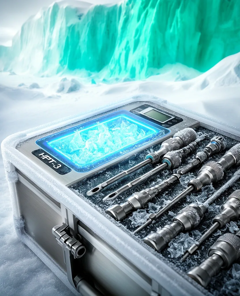
Core equipment requirements for safety in the tundra, from portable shelters to digital depth-finders.
Connect with the team behind the arctic digital frontier. For technical support, simulation access inquiries, or educational partnership, our hub is your point of entry.
Kuala Lumpur City Centre, 50088
Approx. 4 hours